
CompassX
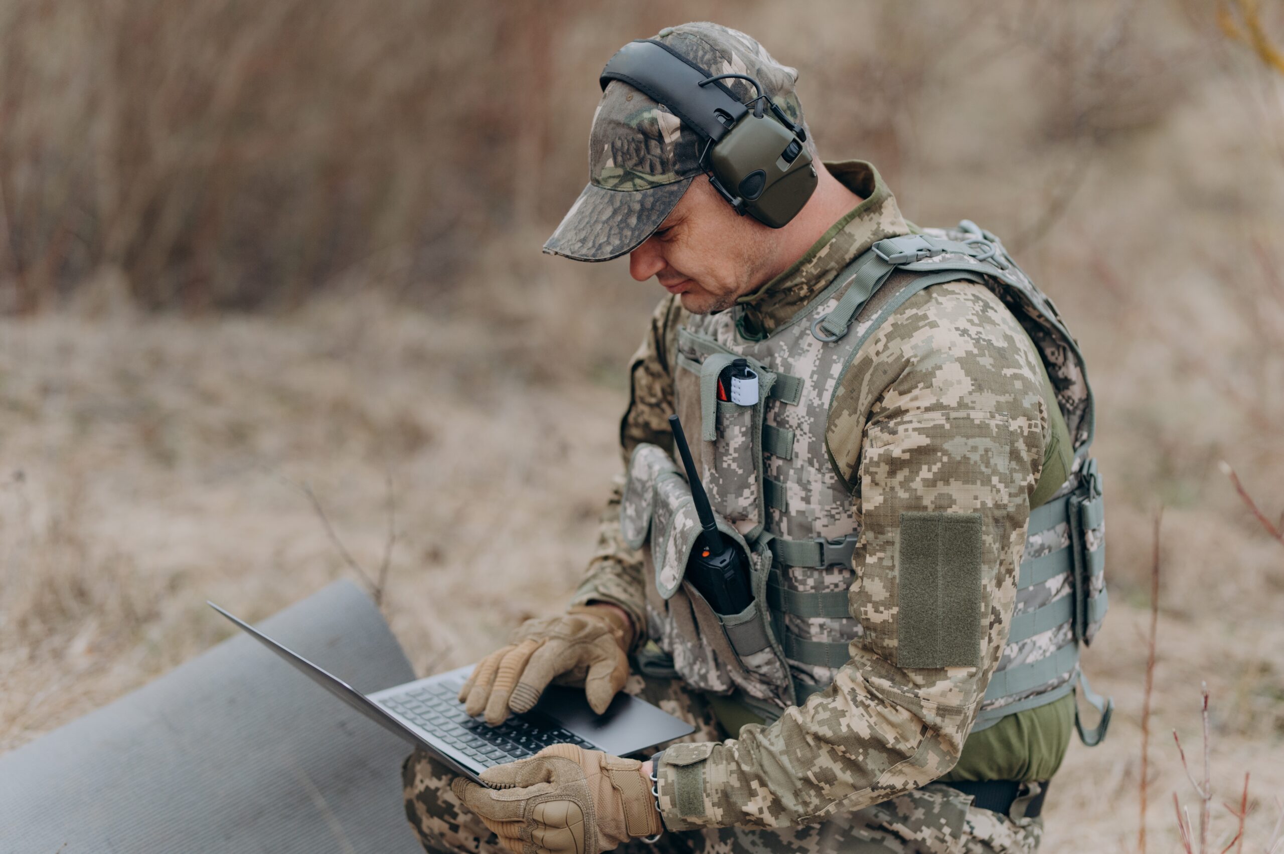
CompassX is a family of AI-driven navigation and autonomy systems that connect crewed and uncrewed platforms across all domains. Built on open standards and engineered for contested environments, CompassX delivers assured navigation, real-time situational awareness, and precision targeting. Its scalable modules combine advanced sensor fusion and intelligent software to ensure accuracy, adaptability, and mission success.

CompassX: The Future of Assured Navigation
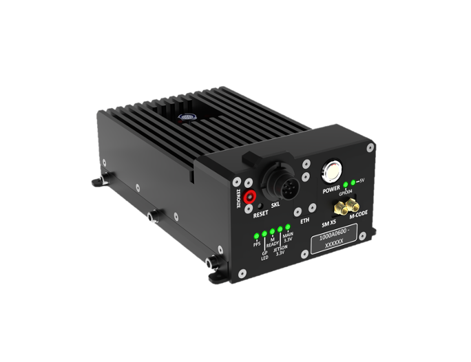
CompassCore
CompassCore is the foundation of AEVEX’s CompassX family, providing the common hardware and processing architecture that powers next-generation autonomy. It fuses navigation, timing, and environmental sensors within a rugged, NDAA-compliant framework, enabling precise, resilient performance across air, ground, and maritime platforms. Designed for scalability and open integration, CompassCore delivers the reliability and interoperability needed for mission-critical operations.
CompassVision
CompassVision is an AI-powered, vision-based navigation system that extends assured positioning beyond GPS. Designed as part of AEVEX’s CompassX family of autonomy solutions, it combines intelligent image processing, advanced sensor fusion, and real-time integrity monitoring to deliver precise, reliable navigation across multiple domains. CompassVision ensures mission confidence when accuracy matters most.

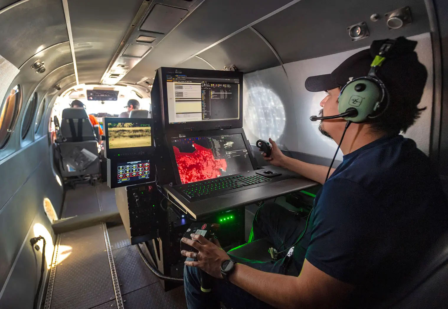
CompassEngage
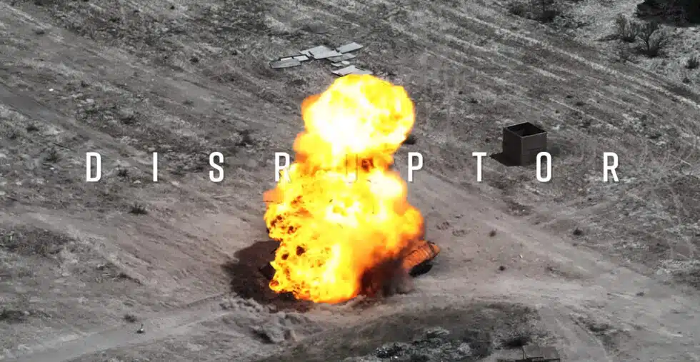
CompassEngage is an AI-driven mission software that enables fully autonomous target engagement through an integrated suite of planning, perception, and visual-guidance tools. Operators can define a target and automatically generate a mission data package that includes terrain, imagery, and environmental context, which is uploaded to the drone prior to launch. Once airborne, the system autonomously searches the designated area, identifies the target using AI-based detection and classification algorithms, and executes visual terminal guidance to achieve precision effects without reliance on GPS or continuous operator input.

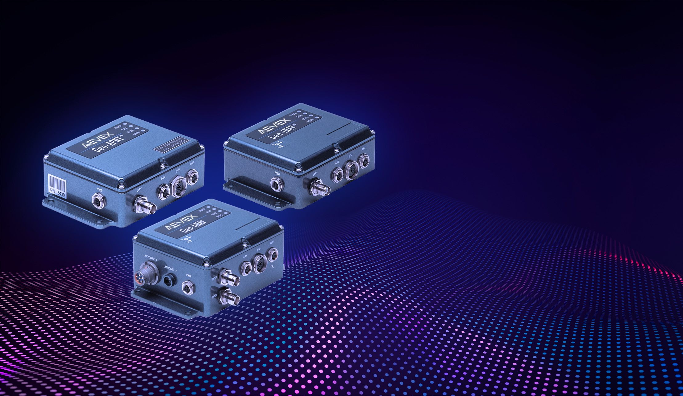
CompassPNT
CompassPNT is a family of resilient positioning, navigation, and timing solutions that ensure operational accuracy in GNSS-degraded or denied environments. Built on AEVEX’s open, modular architecture, CompassPNT integrates advanced sensors, timing sources, and fusion algorithms to deliver reliable PNT data across air, land, and maritime platforms. Designed for flexibility and scalability, CompassPNT provides robust performance and timing, even in GNSS-degraded environments.
CompassEarth
CompassEarth transforms raw geospatial data into mission-ready intelligence. As part of AEVEX’s CompassX family, it integrates advanced mapping, terrain modeling, and imagery analysis to deliver precise situational awareness. Designed for seamless interoperability and scalability, CompassEarth provides accurate, actionable insight that enhances decision-making and supports mission planning across all domains.
Let’s Move the Mission Forward.
Connect with AEVEX to learn how CompassX can transform your mission capability. Our experts are ready to help integrate assured navigation, autonomy, and advanced AI solutions across your platforms. Reach out to discover how CompassX delivers precision, resilience, and operational advantage in any environment.