Our Products
Our advanced and fully customizable products cover your aerospace needs end-to-end. Utilizing our advanced capabilities and expertise, we will work with you to rapidly create and deploy a system that accomplishes your goals.
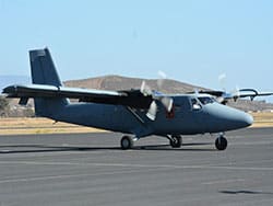
Aircraft
Modifications
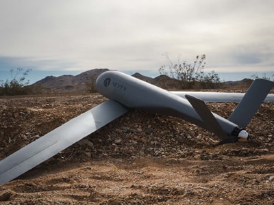
Unmanned
Systems
Position, Navigation
& Timing
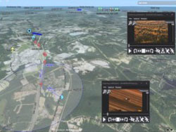
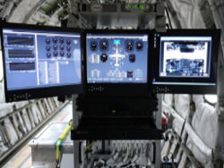
Mission Management Software
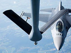
Special Missions Integration
AEVEX Aerospace offers full-spectrum airborne intelligence solutions for cost-effective and customized services that answer our customers’ toughest challenges. From assured positioning, navigation, and timing to LiDAR and photogrammetry capabilities, we offer products and services to advance our customers’ mission-critical aerospace programs.
Aviation Solutions
AEVEX delivers custom tailored, economic DESIGN–BUILD–FLY solutions to meet your specific needs.
Global Solutions
With customized solutions tailored to unique programs, we address the toughest aviation challenges.

Our People
Uncompromising Standards and Values
Our advanced and fully customizable products cover your aerospace needs end-to-end. Utilizing our advanced capabilities and expertise, we will work with you to rapidly create and deploy a system that accomplishes your goals.
Our Partners and Customers
Advancing Success Together
We take a long-term view of our customer relationships and establish strong partnerships with both the U.S. Government and prime contractors. Our primary customer base is centered on supporting the U.S. Special Operations community and broader U.S. DoD customers and their foreign partners.
Want To Learn More?