


CompassEarth – Precision Geospatial Intelligence for Every Mission
CompassEarth empowers users to transform raw geospatial data into actionable intelligence. Powered by AEVEX expertise in airborne collection and analysis, the software enables advanced imagery processing, terrain modeling, and immersive visualization that drives decisive operational outcomes.
Real-Time Geospatial Intelligence Platform
Real-Time Geospatial Intelligence Platform
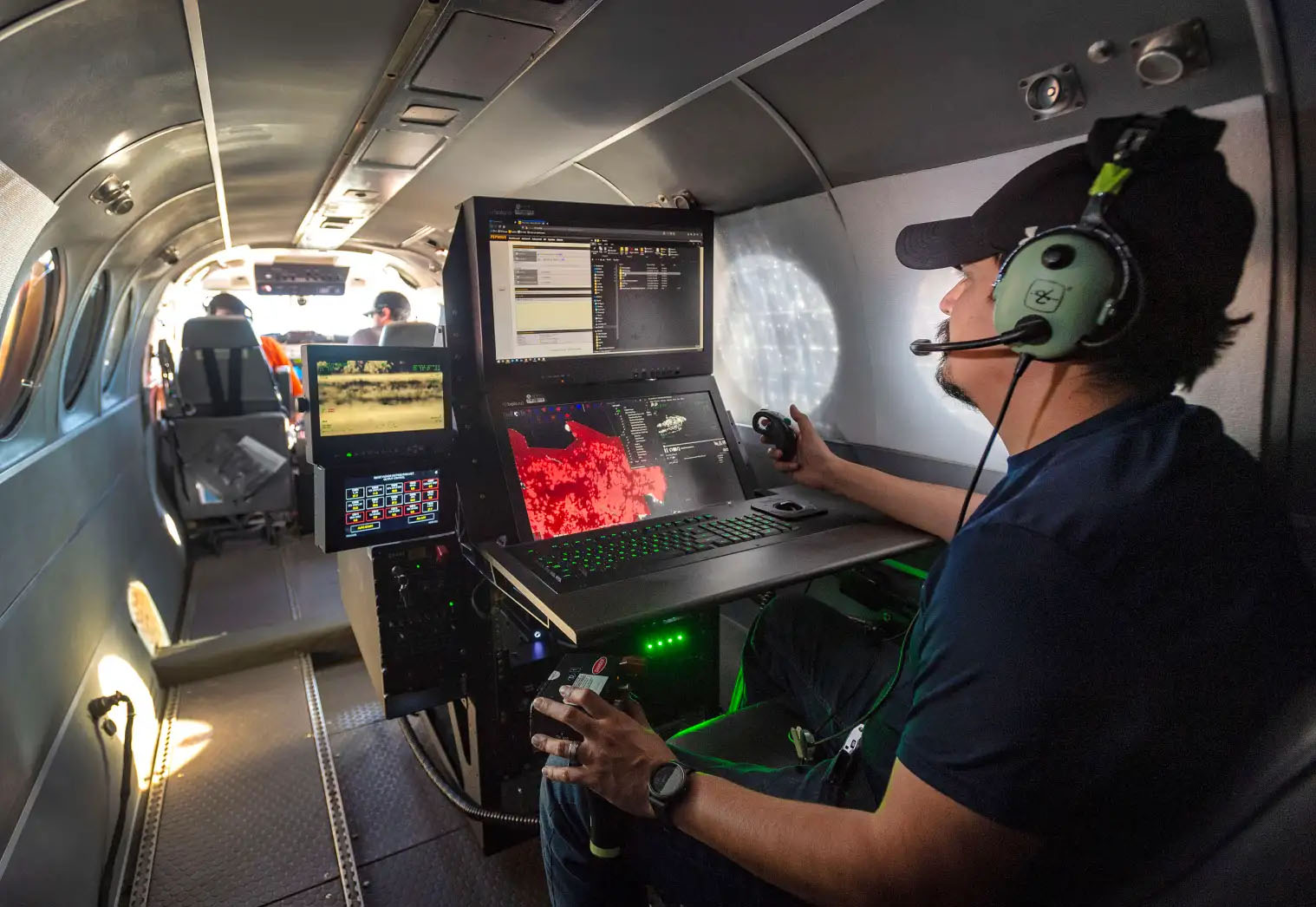
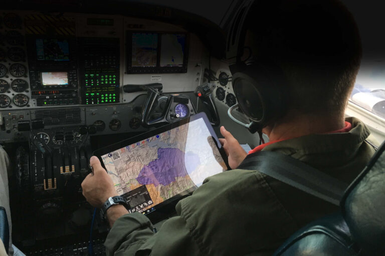
CompassEarth is an advanced geospatial intelligence platform that captures, processes, and visualizes mission data in real time. Built for airborne and ground operations, it ingests video, imagery, radar, communications, and weather data to deliver a unified operational picture. With integrated analysis tools, augmented reality visualization, and real-time aircraft tracking, CompassEarth turns complex geospatial inputs into actionable mission insight.
- Real-time data and aircraft tracking on a 3D globe
- Visually-correlated products from multiple assets
- Digital video recording (DVR) with playback on terrain
- Searchable database with real-time and archived data
- Analysis tools, symbology, and workflows for product generation
Latest from the Frontline


Let’s Move the Mission Forward.
Reach out to AEVEX to discover how CompassEarth transforms geospatial data into mission-ready intelligence through advanced mapping, terrain modeling, and imagery analysis for precise situational awareness.